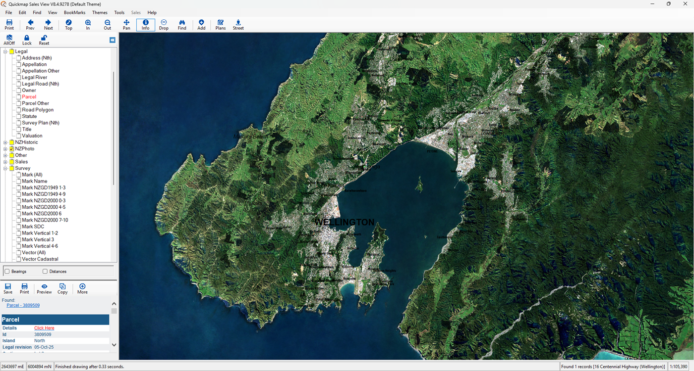
Smarter Property Data at Your Fingertips
Quickmap is a powerful desktop GIS bundled with a nationwide property database — trusted by professionals across New Zealand.
What Quickmap Offers
- 🗂 Titles & Legal Data – Weekly title updates with instant access to ownership details, boundaries, and legal records.
- 📐 Survey & Vector Data – Access a rich collection of survey plans and survey layers for precise spatial analysis.
- 🗺️ Topographic Layers & Aerial Photography – Visualize terrain and property context with high-quality imagery — ideal for planning and development.
- 💰 Sales & Valuation Data – Explore market trends, historical sales, and valuation insights to support informed decision-making.
- 📊 Powerful Reporting Tools – Generate detailed reports using built-in desktop tools or your own integrated datasets.
- 🧩 Custom Data Integration – Seamlessly combine your internal property data with Quickmap’s layers for tailored analysis and scalable workflows.
Exclusive access to Survey Plans
Quickmap provides access to the vast majority of survey plans across New Zealand, including:
- 📄 98% of all “Title” survey plans
- 📄 90% of all “Survey” plans
- 📁 Coverage of both pre-300,000 series (pre-2000) and post-300,000 series plans
- ✅ Exclusive free viewing and downloading of post-300,000 series plans — only with Quickmap

