
Quickmap is a powerful desktop GIS bundled with a nationwide property database — trusted by professionals across New Zealand.
Smarter Property Data at Your Fingertips
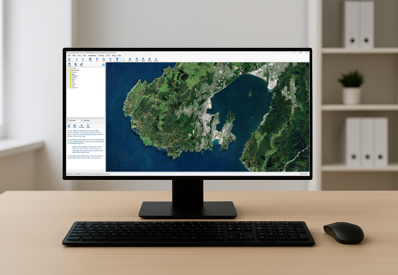
What Quickmap Offers
- 🗂 Titles & Legal Data – Weekly title updates with instant access to ownership details, boundaries, and legal records.
- 📐 Survey & Vector Data – Access a rich collection of survey plans and survey layers for precise spatial analysis.
- 🗺️ Topographic Layers & Aerial Photography – Visualize terrain and property context with high-quality imagery — ideal for planning and development.
- 💰 Sales & Valuation Data – Explore market trends, historical sales, and valuation insights to support informed decision-making.
- 📊 Powerful Reporting Tools – Generate detailed reports using built-in desktop tools or your own integrated datasets.
- 🧩 Custom Data Integration – Combine your internal property data with Quickmap’s layers for tailored analysis.
Exclusive Access to Survey Plans
- 📄 98% of all “Title” survey plans
- 📄 90% of all “Survey” plans
- 📁 Coverage of both pre-300,000 series (pre-2000) and post-300,000 series plans
- ✅ Exclusive free viewing and downloading of post-300,000 series plans — only with Quickmap
Quickmap gives you the most cost-effective access to up-to-date property data
Contact us for a no-obligation free trial today.